 Brella OS
Every Address Arrives With Its Building and Its Hazards
Pick the address. The parcel fills from the public record, the map finds it, and the risk summary looks itself up, each hazard rating naming its source.
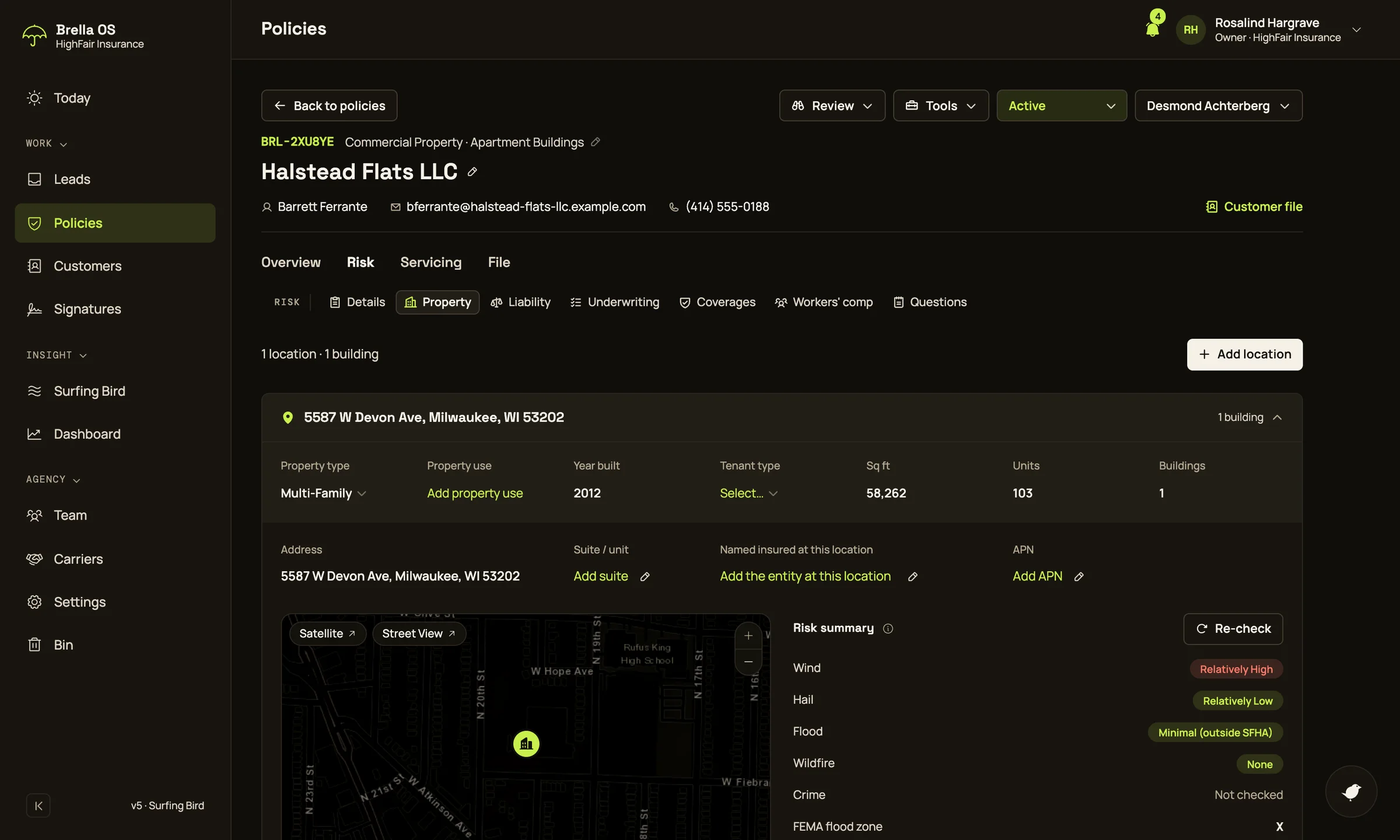
A real lookup, on a real address
5050 N Sheridan Rd, Chicago: its buildings, its census tract, FEMA’s flood zones along Lake Michigan and the distance to the water, all from public data. Drag to turn it; switch layers below.
Where each rating comes from
Public data, named. A rating is never shown as more precise than its data, and a lookup that failed reads “Not checked”, never low.
| Wind | FEMA National Risk IndexCensus tract |
|---|---|
| Hail | FEMA National Risk IndexCensus tract |
| Flood | FEMA National Flood Hazard LayerAt the property |
| Wildfire | USFS Wildfire Risk to CommunitiesAt the property, 30 m |
| Nearest water | U.S. Census TIGERweb, 100 m to 3 kmAt the property |
| Crime | An estimate from area income, labelledThe area |
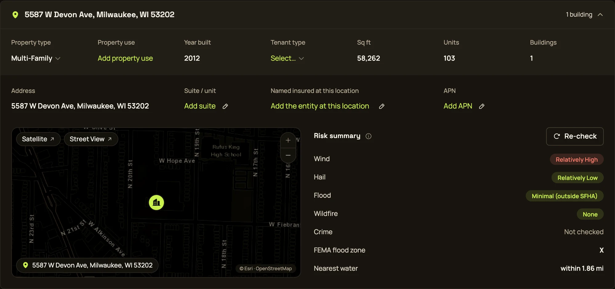
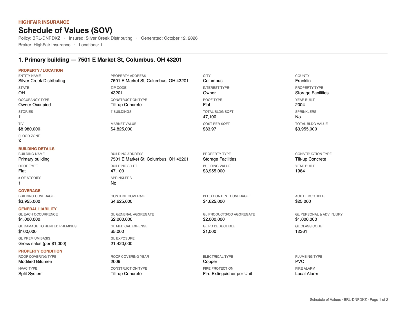
The parcel, onto every form
The lookup fills property type, use and year built, and the record’s stories, construction, roof, sprinklers, market and land value. Every value is editable, and what a person enters always wins.
- The ACORD 140 prints a building’s flood zone; the schedule of values prints the parcel’s facts
- Satellite for the roof, Street View for the front
- Bird fills the gaps you give it, and never copies the record’s owner into Named insured
FEMA’s online flood map is not an official flood determination; the printed FIRM is. This product uses the Federal Emergency Management Agency’s National Risk Index dataset API or downloadable datasets but is not endorsed by FEMA. The Federal Government or FEMA cannot vouch for the data or analyses derived from these data after the data have been retrieved from the Agency’s website(s). Wildfire: Scott, J.H. et al. 2024, Wildfire Risk to Communities, 2nd Ed., USFS Research Data Archive, doi:10.2737/RDS-2020-0016-2. Map data © OpenStreetMap contributors.